by Gloria Nobile
The Einstein Telescope is set to become one of the most advanced instruments for studying gravitational waves, infinitesimal vibrations in the fabric of spacetime. This is no small feat, considering that gravitational interaction is the weakest of the fundamental forces in the universe.
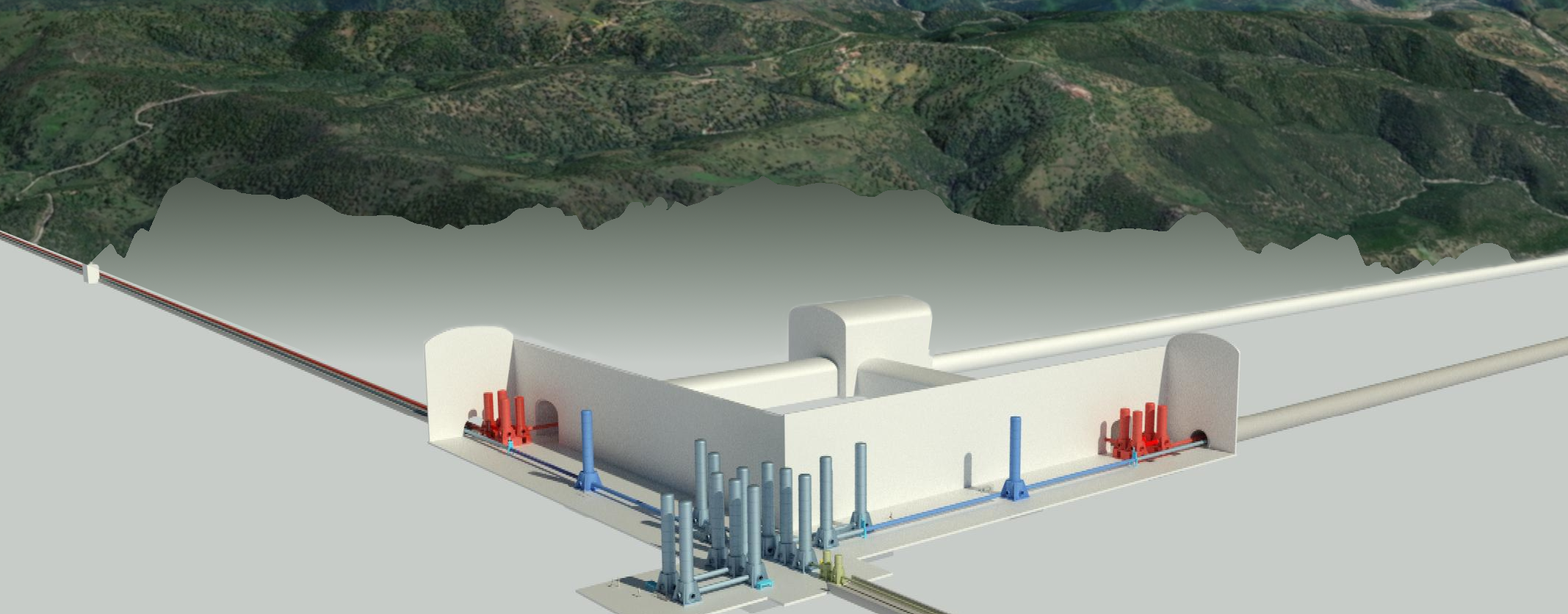
For the experiment to succeed, extreme precision is required, not only in detecting gravitational waves but also in the physical positioning of the scientific instrumentation, which will be placed underground at depths between 100 and 300 meters to isolate it from the noise generated by both natural sources (such as seismic activity) and human activity (such as traffic and industry), which could distort the weak signals produced by the passage of gravitational waves. To ensure and maintain this precision, both during construction and operations, it is essential to establish a geodetic reference network, mainly based on permanent GNSS stations (Global Navigation Satellite System), strategically distributed near the site. These stations provide a set of known and precise coordinates, forming the foundation for all high-precision geodetic surveys required for positioning and monitoring the infrastructure.
«In the context of installing and maintaining a complex and sensitive research infrastructure like the Einstein Telescope, having a system of precise coordinates is crucial, not only in the construction phase, but also for the positioning and alignment of instrumental components», explains Monica Marzario, an environmental engineer at the Department of Civil, Constructional, and Environmental Engineering (DICEA) at Sapienza University of Rome. «This alignment will undergo regular checks to detect any displacements and apply the necessary corrections as needed».
Although the proposed Sardinian site to host the infrastructure (the area around the disused Sos Enattos mine, in the Nuoro province) is extremely seismically stable, a geodetic control system is essential to identify any ground movements and prevent them from compromising the interferometer’s measurements.
«By combining GNSS data with seismic and geophysical data, it is possible to build a detailed picture of the deformations occurring in the Earth’s crust as a result of seismic events», Marzario says. «Additionally, by analyzing differences between the positions of the points measured over time, it is possible to detect ground alterations due to natural phenomena».
The creation of a geodetic reference network for the Einstein Telescope will consist of two main components. Thanks to collaboration between DICEA and the Italian Space Agency, as part of the PNRR ETIC project, a primary network consisting of three permanent GNSS stations has been established, installed near the three preliminary vertices of the interferometer. This system serves as the starting point for developing a densification network, essential for implementing the underground control network and allowing the positions of the various components of the observatory to be monitored even in depth.
In addition to providing technical support during the experiment’s installation, the GNSS and geodetic reference network will be critical for its long-term success, ensuring that the observatory can operates – and continue to do so – with the precision required by such a complex project.
To learn more, watch the interview with Monica Marzario on the ET Italy YouTube channel.

