The scientific surveys carried out in the territory of Lula and the surrounding municipalities, as part of the studies supporting the candidacy of Sos Enattos to host the Einstein Telescope (ET), have also become an opportunity for information-sharing, outreach, and local community engagement.
Alongside the technical geophysical investigation activities promoted by the National Institute for Geophysics and Volcanology in collaboration with the University of Cagliari, a communication initiative aimed at local communities, schools, and citizens is also continuing, with the goal of clearly explaining the purpose of the surveys and the scientific value of Sardinia’s candidacy.
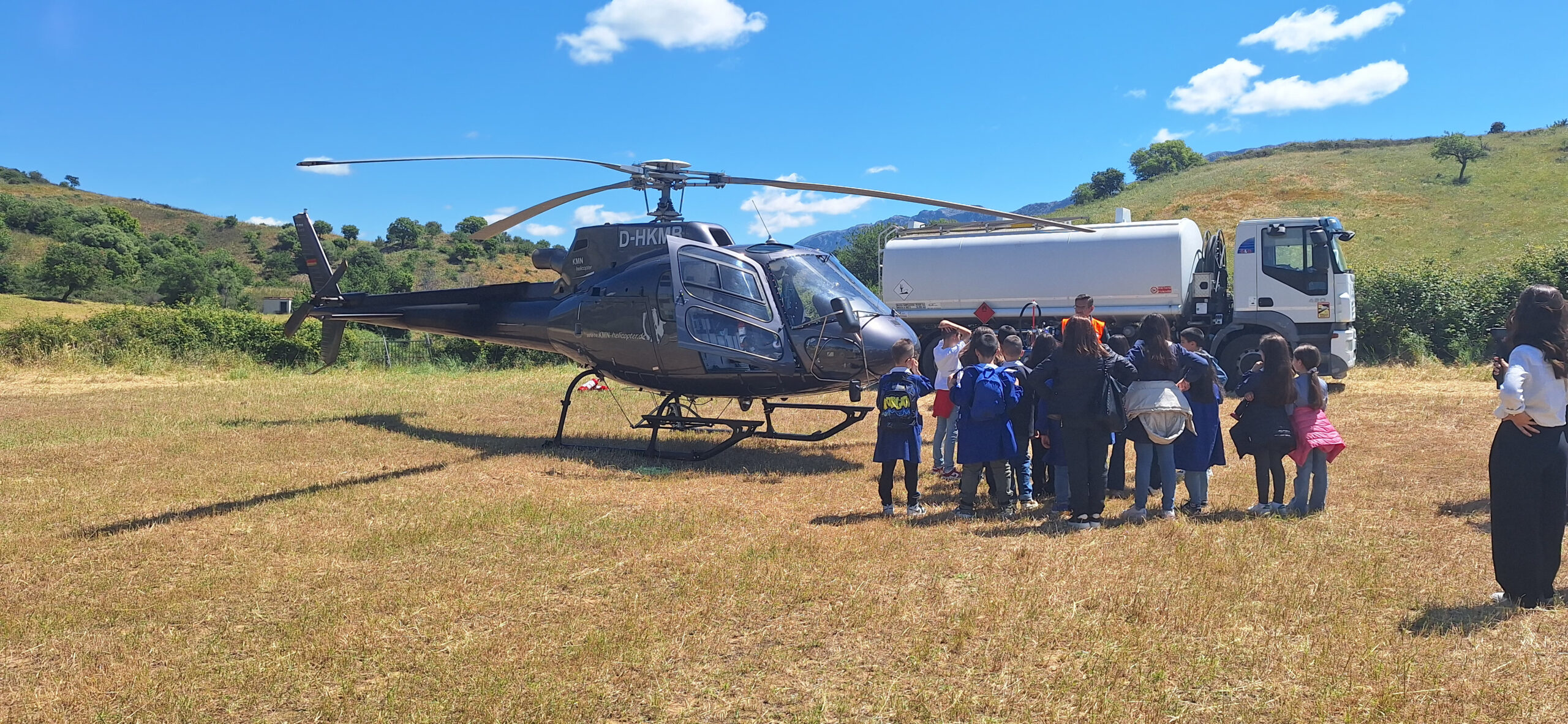
In recent days, all classes from the Lula primary school had the opportunity to visit the operational base of the helicopter involved in the aerial surveys, observing the helicopter and the large suspended antenna used for the measurements up close. Accompanied by community outreach facilitators, teachers, and researchers, the students were able to hear directly from experts about how the equipment works, the objectives of the investigations, and the importance of gaining a better understanding of Sardinia’s subsurface geology.
The initiative was documented through a short outreach video produced as part of the territorial communication activities. The video, created by the territorial communication team and the University of Sassari, includes testimonies from researchers and technicians involved in the operations and captures some moments from the preparation of the surveys and the flight activities. The visual narrative thus provides a concrete glimpse into one of the most visible phases of the studies related to ET, highlighting the dialogue between research, schools, and the local area. The video also showcases the work of the personnel involved in the mission, including the helicopter pilot, helping to convey the technical, professional, and human dimensions of the operations.
The helicopter used in the operations carries a sophisticated antenna capable of transmitting low-intensity electromagnetic waves into the ground. By analyzing the response of the subsurface, researchers can collect information useful for building a three-dimensional geological model of the area under study. This is a well-established, non-invasive methodology used in several countries for geological studies, scientific research, and land monitoring activities.
The scientific coordinators reiterated that the activities are safe, authorized, and carried out in compliance with all applicable regulations. The surveys concern exclusively the physical and geological characteristics of the subsurface and do not pose risks to people, animals, or the environment.
The involvement of schools and local communities represents an important part of the candidacy process. Making scientific activities understandable and fostering dialogue among researchers, citizens, students, and local communities means supporting Sardinia through a process that concerns not only scientific research, but also the cultural, educational, and social development of the communities involved.